

of stream habitat rebuilt
completed since 2008
actively restored
of roads decommissioned or improved
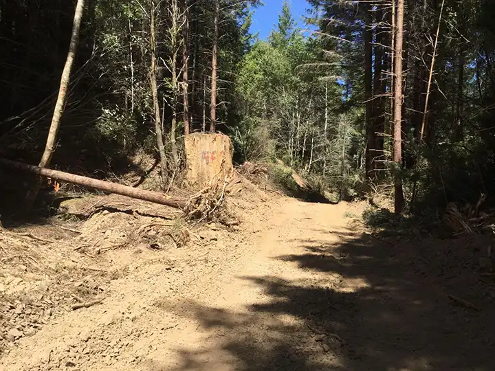
Historic logging placed roads in creek beds, riparian zones, and steep slopes, concentrating runoff and erosion.
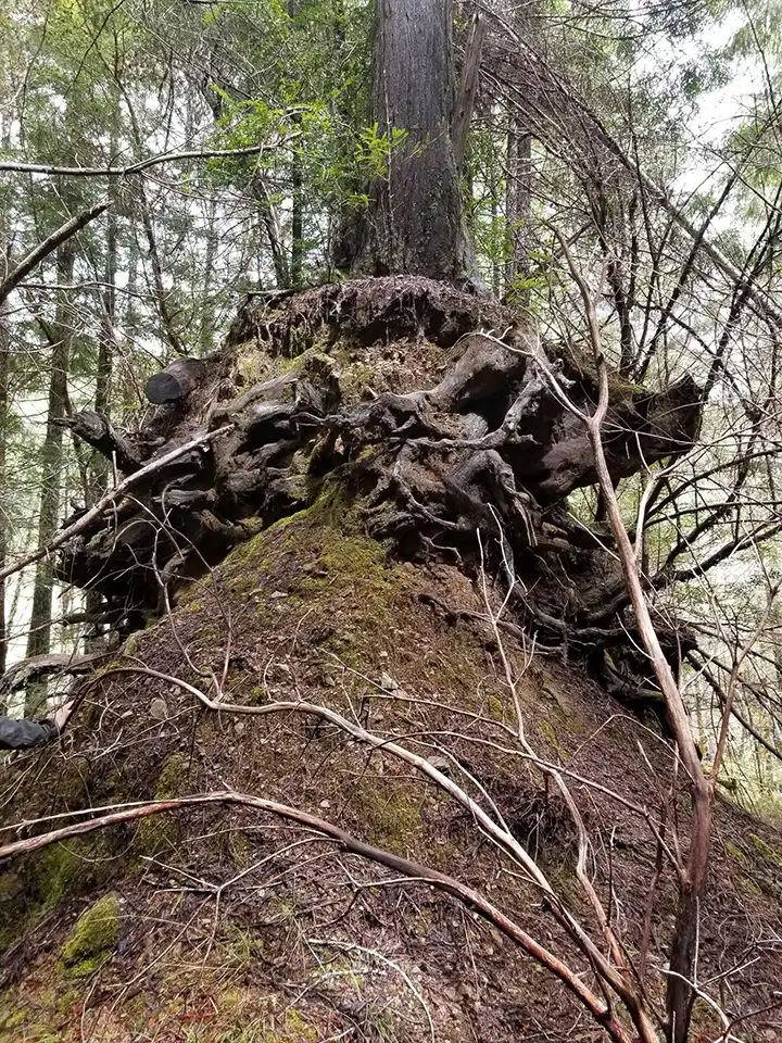
High road density drove hillslope failures and sediment into streams, degrading salmon and steelhead habitat.
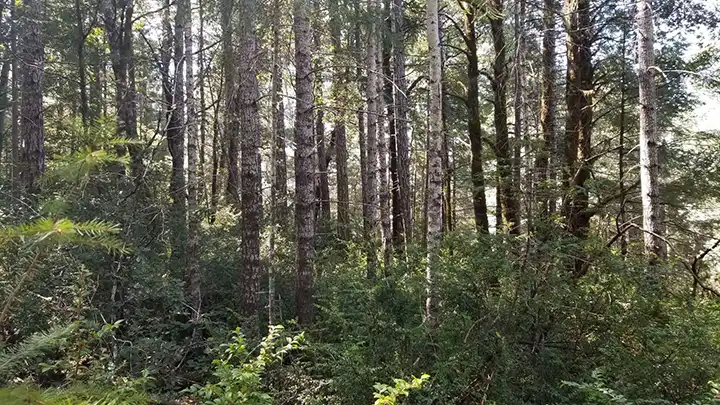
Intensive logging left dense, young stands that are more vulnerable to wildfire and less resilient.
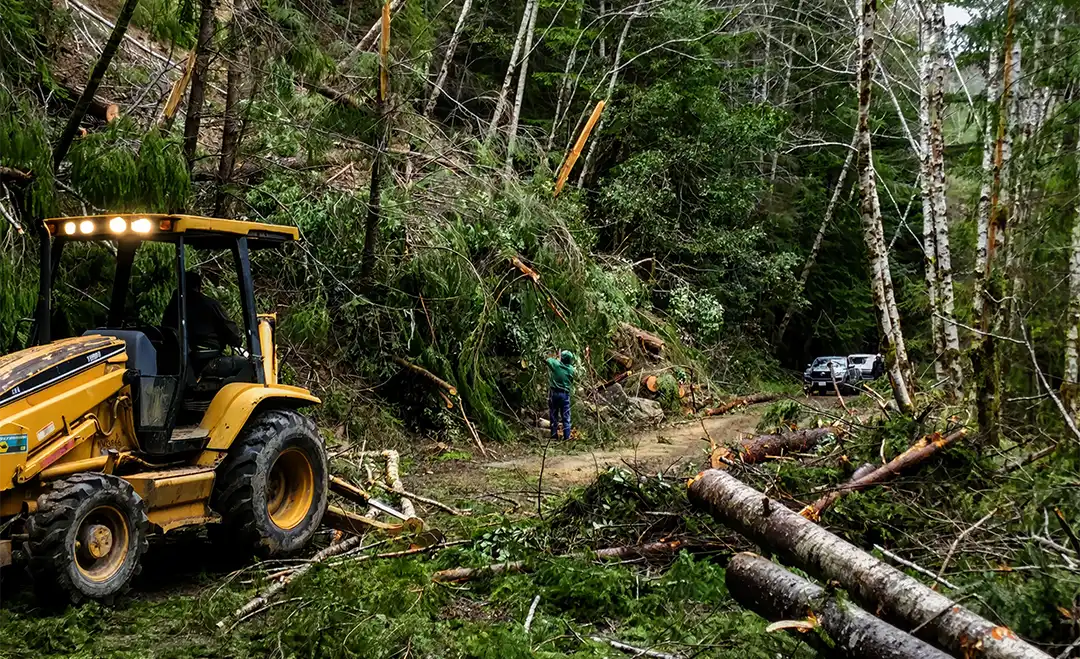
Remove or improve legacy roads to reduce erosion and keep sediment out of streams.
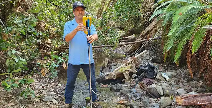
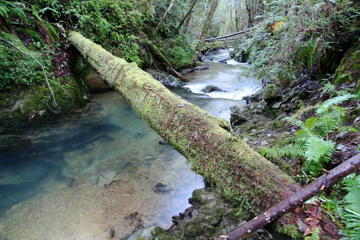
Replace failing crossings and add large wood to restore natural flow and aquatic habitat.
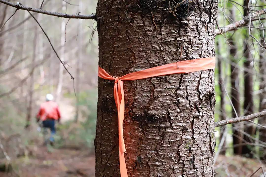
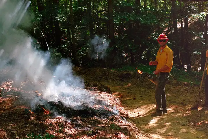
Thin dense stands and reduce fuels to build healthier, more resilient forest conditions.
On Usal Redwood Forest, we manage six watersheds with salmon runs, approximately 30,000 acres, that drain into the South Fork Eel River. Our work is guided by a collaborative approach with agencies and landowners, focusing on the streams and watersheds most critical to salmon recovery. In the last 15 years, we've completed more than 30 projects, with priority focus on Indian Creek and Standley Creek.
View the full map
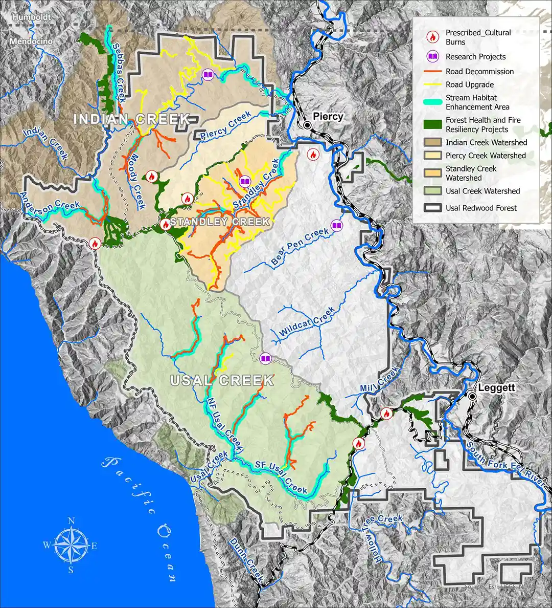
COMPLETED WATERSHED RESTORATION
6 RESTORATION PHASES
Completed across the watershed by 2017.
18.67 MILES
Of forest roads treated to reduce erosion and sediment delivery.
264 SITES TREATED
Including roads, stream crossings, landslides, and drainage features.
101,070 CUBIC YARDS
Of future sediment delivery estimated to have been prevented.

Reduce sediment from legacy roads, restore stream function, and improve aquatic habitat through coordinated watershed restoration.
Reduce Sediment
Treat unstable road fills, landslides, and drainage problems before sediment reaches streams.
Restore Stream Crossings
Remove barriers and unstable fills to improve fish passage and restore open channels.
Enhance Aquatic Habitat
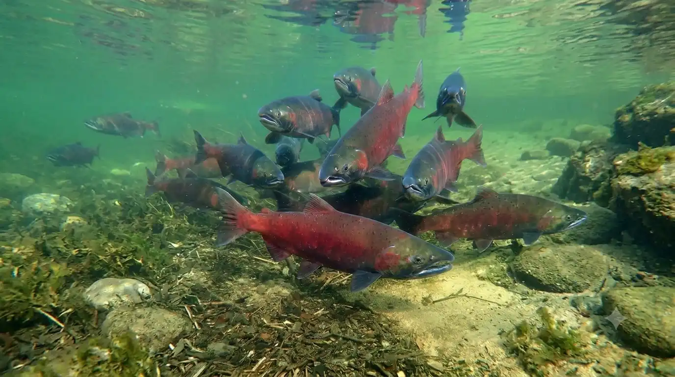
Add large wood to create cover and more varied habitat for coho salmon and steelhead.
Improve Road Drainage
Upgrade necessary roads and decommission unused routes to reduce runoff into streams.

Restoration maps, field imagery, and water monitoring document completed work and guide ongoing stewardship.
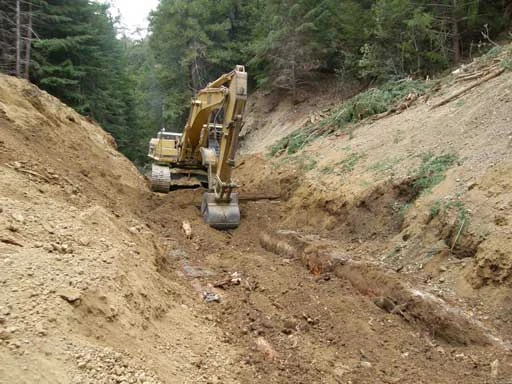
Road decommissioning and instream habitat work completed from 2008 through 2017.
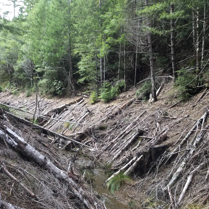
Fifteen large-wood structures installed along a half-mile of upper Standley Creek enhance aquatic habitat.
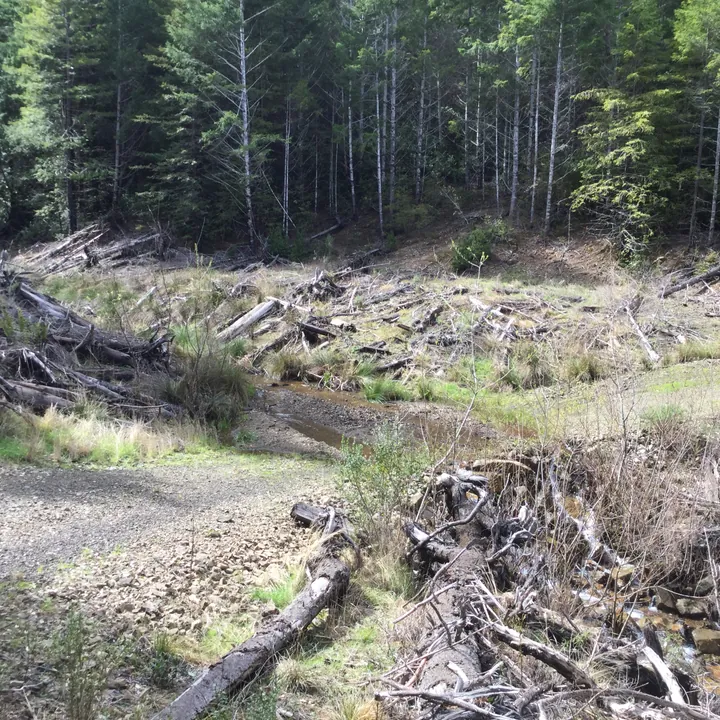
Field observations and water monitoring help track watershed conditions and guide long-term care.
Every part of the forest is connected. Explore the work happening across Forest Management, Watershed Restoration, Biodiversity Conservation, and Monitoring.
SUPPORT RESTORATION