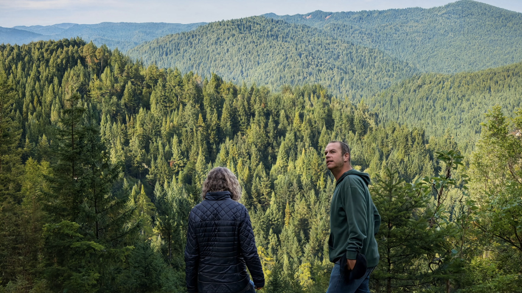
Working forest conservation is not a new concept, but the tools available to practice it well have changed significantly in recent years. Sensor networks, bioacoustic monitoring, drone mapping, and real-time data platforms now make it possible to manage a 50,000-acre forest with a level of precision and accountability that was not achievable a decade ago. At Usal Redwood Forest on the Mendocino Coast, the Redwood Forest Foundation has been building these capabilities alongside the restoration work itself, and 2026 is shaping up to be one of the most active years yet on the ground. This guide covers where working forest conservation stands in 2026, what is happening at Usal specifically, and what the model points toward for the future of large-scale forest protection.
Where Working Forest Conservation Stands in 2026
The conservation community has spent the past decade debating and refining what large-scale, financially sustainable forest protection looks like. The consensus that has emerged from that conversation is not a single model but a set of principles: independent certification of ecological standards, transparent reporting of outcomes, funding structures that generate some revenue from the land itself, and continuous monitoring that produces the data needed to adjust management decisions over time.
Working forests that meet those principles are increasingly recognized by conservation funders, carbon markets, and public agencies as a credible approach to protecting large forested landscapes that would otherwise be economically vulnerable to higher-impact uses. The Redwood Forest Foundation's model at Usal is one of the more developed examples of what that looks like in practice.
The Monitoring Infrastructure in 2026
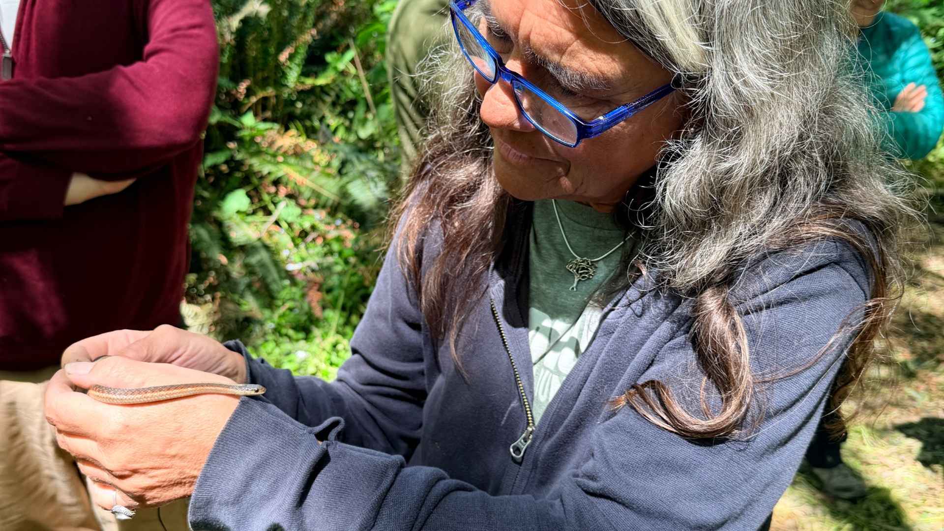
The smart forest system at Usal represents the most significant evolution in working forest management practice in recent years. It includes wildlife cameras, bioacoustic monitors that record the forest soundscape continuously, water temperature and soil sensors, dendrometers that measure individual tree growth to the millimeter, drone and GIS aerial mapping, and a real-time telemetry network that connects all of the above to a central data platform.
The science platform, built in partnership with NatureMetrics, produces accredited biodiversity analytics and investor-grade reporting on the forest's carbon stock, biodiversity, and watershed health. This reporting supports the carbon credit program, satisfies funders and partners looking for verified outcomes, and gives the management team the current, continuous data they need to make good decisions across 50,000 acres.
In practical terms, this means the restoration team no longer has to wait for a seasonal field survey to know whether a section of stream is warming to dangerous temperatures for coho, whether a species has returned to a restored section of forest, or whether canopy in a particular zone is recovering as expected. The data is available in close to real time.
.jpeg)
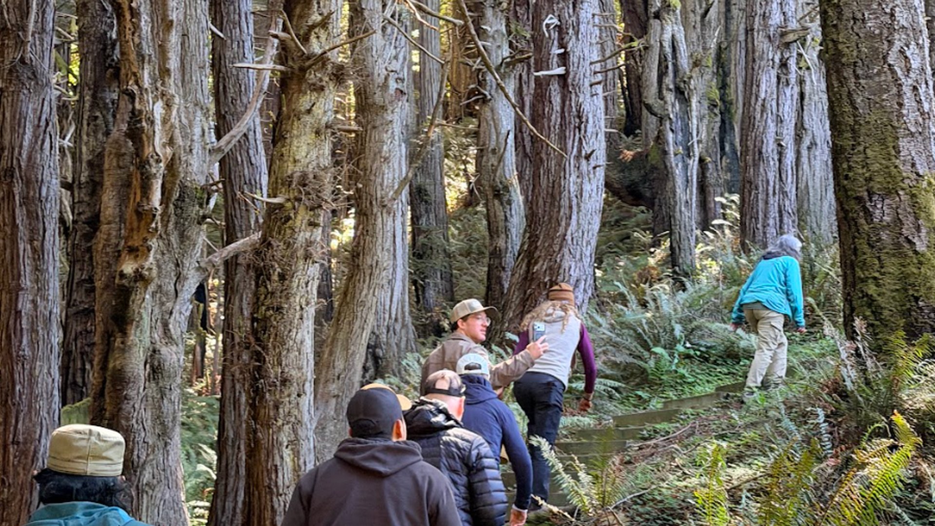
Forest Health Work on the Ground
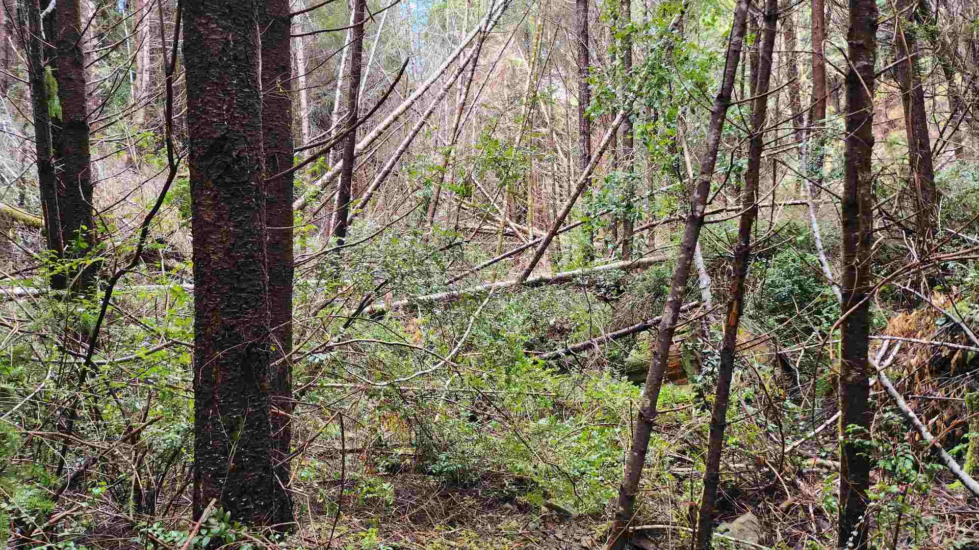
This month, 35 local forest workers started work in Usal Redwood Forest on a forest health and fire resiliency project covering more than 500 acres of the Indian Creek Watershed, a stream system that matters directly to salmon recovery. The project is funded through CAL FIRE's Forest Health program, specifically the Northern Mendocino County Forest Health Collaborative Phase 2, with $2.4 million going directly to work on the ground. Half of the project area is being managed by local indigenous crews.
Getting to this point took years. Forest health work at this scale requires permitting, species surveys, archaeological clearances, and contractor coordination long before a single crew walks into the field, and every person hired for this project is local. The goal is straightforward: make this forest and the surrounding community more resilient to fire over the long term, while protecting the same watershed conditions the coho restoration work depends on. CAL FIRE's funding made the project possible, and the Foundation is glad to put it to work through people who already know this landscape.
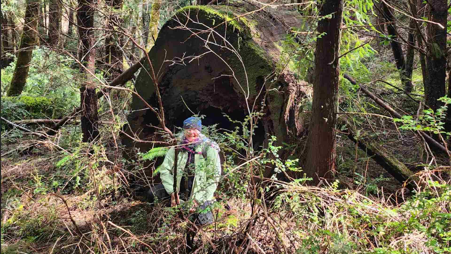
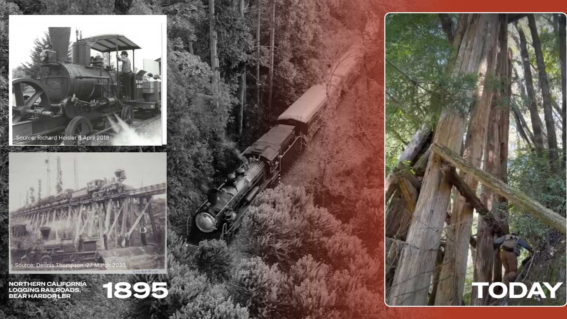
From the Field: A 130-Year-Old Trestle, Still Standing
While surveying conditions in the Indian Creek area, field forester Steve came across something that stopped the crew in its tracks: the old Bear Harbor Railroad Trestle, standing roughly 70 feet tall and built around 1895. It has been hidden inside Usal Redwood Forest for over a century, waiting for someone to notice it again.
The redwoods have grown back so thick around the trestle that it would be easy to walk right past without looking up. Look up, though, and the structure has quietly outlasted the logging industry that built it, the crews that ran it, and more than a century of seasons. The forest came back. The trestle stayed. It is a fitting reminder of what working forest restoration is actually rebuilding toward, a landscape that can carry both its history and its future at the same time.
The Restoration Program in 2026
The numbers reflect more than a decade of continuous work. 250,000 native redwoods planted from locally collected seed. Nearly 20 miles of salmon-bearing streams restored. 162,390 cubic yards of sediment prevented from entering rivers through road decommissioning. The forest holds 4.8 million metric tons of CO2e, verified through the smart forest system.
In April 2025, coho salmon fry were confirmed in South Fork Usal Creek for the first time since 2013. That confirmation is the most concrete ecological milestone the program has produced, a species that disappeared from the watershed more than a decade ago returned because the habitat conditions crossed back into the range it requires. The log structures installed in 2014, the decommissioned roads, the replanted riparian corridors, and the continuous monitoring that guided those decisions all contributed to that outcome. The Indian Creek fire resiliency work now underway is built on the same logic, protecting the watershed conditions that make recovery like this possible in the first place.
The expansion of the property toward 57,000 acres is currently underway.
Public funding has become part of how that work gets done. In October 2025, the Foundation was awarded $2.8 million through the USDA's Community Wildfire Defense Grant Program for a separate fire mitigation project near Leggett. That grant funds the expansion and maintenance of fuel breaks along Highway 1, including retreating about 4.5 miles of existing breaks and constructing roughly 3 additional miles, plus fuel breaks along two ridgeline spurs, for 579 acres of treatment in total. It also funds two community prescribed fire trainings and staff certifications, which support the Foundation's ongoing prescribed burn operations at Usal. Combined with the CAL FIRE funding behind the Indian Creek project, it points to a pattern: federal and state wildfire resilience dollars increasingly see Usal as a place where that money gets put to verified, on-the-ground use.
What the Model Points Toward
The working forest conservation model at Usal is not a finished product. It is a demonstration in progress, running across a landscape large enough that the outcomes are meaningful at a regional ecological scale, with monitoring infrastructure rigorous enough that those outcomes can be verified and reported with confidence.
What the model points toward is a version of large-scale forest conservation that does not depend on periodic philanthropic campaigns to sustain its core operations. A forest that funds part of its own protection through sustainable use, draws in public funding like CAL FIRE's Forest Health grants for the work that benefits the surrounding community, generates additional revenue through carbon markets, and builds a community of supporters connected to specific outcomes, is more financially stable over the decades that meaningful ecological recovery requires.
That stability is what makes it possible to plan restoration work with a 100-year horizon rather than a three-year grant cycle.
FAQ - Frequently Asked Questions
1. What is working forest conservation in 2026?
Working forest conservation in 2026 combines FSC-certified sustainable timber operations, carbon credit programs, and advanced ecological monitoring to manage large forested landscapes for both conservation outcomes and long-term financial sustainability. At Usal, the smart forest system adds real-time sensor data, bioacoustics, drone mapping, and accredited science reporting to the traditional working forest toolkit.
2. What is new in forest conservation technology in 2026?
The most significant development is the integration of continuous monitoring infrastructure into working forest management. At Usal, wildlife cameras, bioacoustic monitors, water sensors, dendrometers, drone mapping, and a real-time telemetry network produce an ongoing, data-rich picture of forest health that replaces the seasonal field survey as the primary basis for management decisions.
3. How does a working forest conservation model handle long-term planning?
The model is designed to support planning horizons measured in decades rather than grant cycles. Sustainable forestry revenue provides annual income independent of variable funding sources. Carbon credits reward keeping the forest standing and healthy over the long term. Community donations build a constituency invested in outcomes. Together these make it possible to plan restoration work on the timescale that large-scale ecological recovery actually requires.
4. What has Usal Redwood Forest achieved through the working forest model?
Since the Redwood Forest Foundation began managing Usal in 2007: 250,000 native redwoods planted, nearly 20 miles of salmon-bearing streams restored, 162,390 cubic yards of sediment prevented from entering rivers, a verified carbon stock of 4.8 million metric tons of CO2e, and the confirmed return of coho salmon to South Fork Usal Creek in April 2025 after more than a decade of absence.
5. Is the working forest model expanding at Usal?
Yes. The property is currently expanding from 50,000 acres toward 57,000 acres. The smart forest monitoring system is being built out as Smart Forest Phase 1, establishing the sensor, telemetry, and science platform infrastructure that will support monitoring and reporting across the expanded property.